Thanks for the vigorous social media development. I have met some friends with common interests through Facebook. Also I have learned Taiwan history, geology, and ecology in different regions from these FB friends. This time my husband and I were invited by my FB friend Morris who has done many ecologic field trips with NTU scholars in Nantou county to hike Mt. Dongpu.
 |
| Snipped from Google Map |
Mt. Dongpu is located on 143.8 KM of Highway 21 with 2,248 meter height. It belongs to Jade Mountain Range territory in the Jade Mountain National Park.

That day I had to wake up early in order to meet our friends at the Jade Mountain National Park headquarter in Shuili at 8:30 am. It would probably take 90 minutes drive from Taichung to the headquarter. (We stopped at McDonald in Mingjian for our breakfast after getting off Freeway (toll road) 3 at the Mingjian interchange.)

We arrived early. The street was really quiet. There were only a few cars or people passing by. Highway 21 is also the alternate road to Alishan. As usual, people are always late in Taiwan.

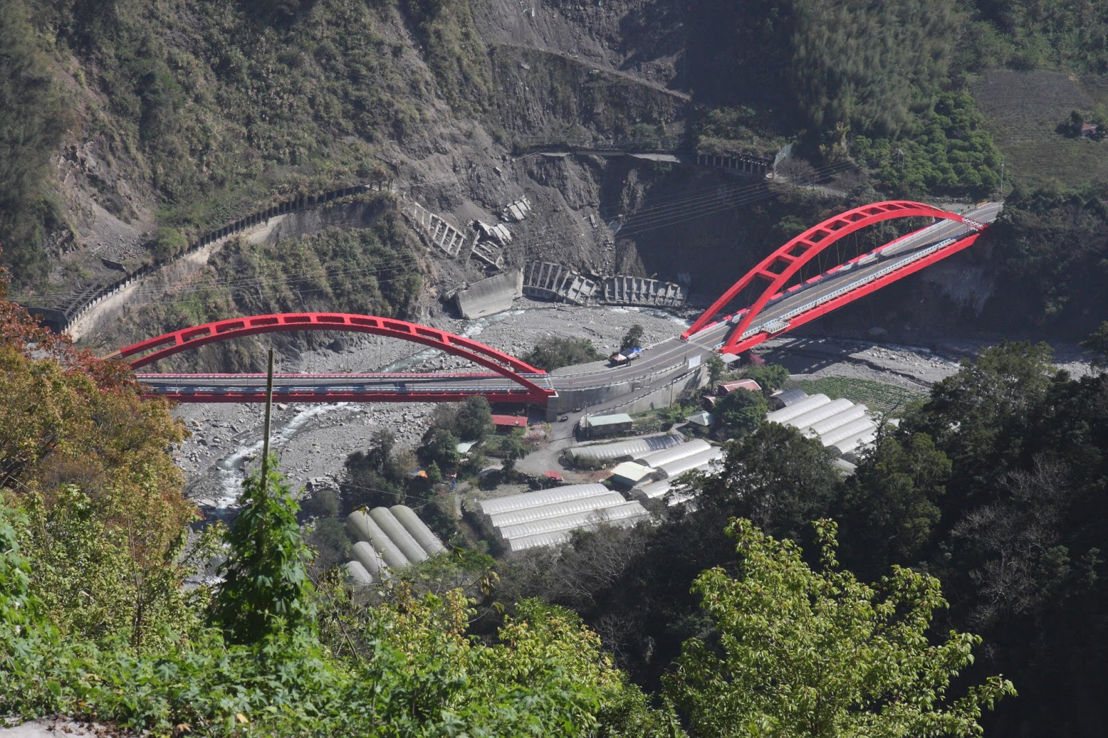
While awaiting our friends, we walked around the national park headquarter. The red bridge over the Shuili river is a bicycle trail. The Shuili river provides a good training place for people who love white water rafting or kayaking.

The national park headquarter permanently displays ecologic artifacts and sometimes the art works of photography and paintings. It is also a good rest stop.

In 1930 during the Japanese occupation, they found that Jade mountain (3,952 meter) was higher than Mt. Fuji (3,776 meter.) So they called Jade Mountain Xingaoshan which means the new high mountain and built this monument at the trailhead leading to Jade mountain. Today, this monument in the park headquarter is a duplicate.
 |
| This photo was snipped from Google Map |
The real monument still sits on its original location on the intersect of highway 16 and 21. The new development of the highway and the rapid growing of population and houses have taken away its glory. Today it is not that obvious and significant to most travelers.

The inscription on this monument is Xingaoshan Trailhead. Morris point out this location and explained the history for us. It was an odd feeling for me to see a historical object attached to a house without proper care.

It would take a drive of 90 minutes from the headquarter to the Tataka national park visitor center. Along the highway, we saw many massive landslides. In my personal opinion, highway 21 is not a really safe road, especially during the typhoon season or the raining season.

The old highway was covered by the massive landslide.

An old couple raised more than 10 cats without neuter in the mountain. They let their cats wonder around in the fields. I asked them if we could adapt this cute little cat. They said "no" to us because they believe cats that live in apartments without their mothers aside in cities won't have a happy life. Well, we had to say goodbye to this little cat.

Highway 21 is one of the most challenge roads in Taiwan for this bicyclists due to constantly changes of the weather and the winding road situation.
We stopped at this point around the highway marker 116.5 for the bird eye views of Dongpu Sun- Moon bridge, Dongpu Village, and also for a restroom stop.

After the Tongfu tunnel, there was a parking lot with cherry trees all around. During the cherry blossom season, it attracts a lot of tourists and photographers for its beauty.

The cherry trees also lured different birds for its fruit.

These two sacred trees which are called the couple trees were the most famous spot on the highway, marker 141 km.

We finally arrived at the trailhead on the highway marker 143.8 km.

The trail was 800 meters long and the altitude variation was from 2,480 m to 2,782 m.

Morris was showing us the Taiwan endemic plants in this region to us.

The view of Jade Mountain Peak on the right, North peak, and North North Peak.

The trail was constantly going up. I was breathing hard.

One of our group members walked with her bare feet. She believed she could absorb more of the natural energy. A lot of pine needles laid on the trail which made the trail more easier for our bare foot friend to walk.
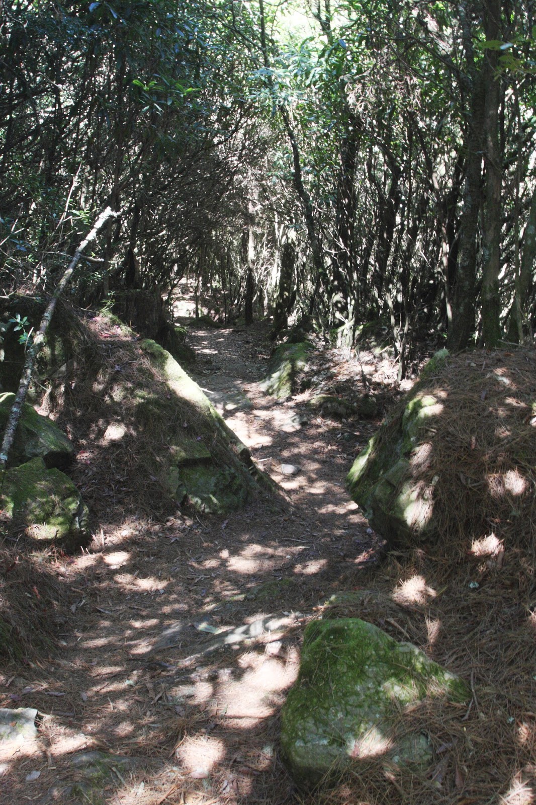
After the endless climbing, I was very excited to see this flat section of the trail which allowed me to relax and adjust my breath.
 |
| Trail View |
 |
| Overview of Highway 21 |
 |
| Outlook Area |
 |
| The tree tunnel like a swirl was awaiting for me. I wondered if I would enter another space. |
 |
| I was her model but in the meantime she became my model. Her pose enticed me to take this photo. |

This was the most difficult section on this trail but it was probably a piece of cake for active hikers. The rock step was a little higher for me in one step. There was a chain for people like me to hang on.
 |
| Looking back at the rock steps, it was beautiful. It was worth all the hard work. |

A few hikers already arrived the top earlier than us and occupied the limited spaces with their tents.

Finally I reached this peak of 2,782 meter height. How excited I was to finish this journal.
 |
| The view of Jade Mountain range |
 |
Sea clouds covering the Mt. Ali range |
We were astonished by the magnificent sea clouds.
The view unexpectedly changed and each change gave us pleasantly surprised. A professional photography had set up his tripods and cameras to take time lapse photos. After a short talk with him, I knew he would stay on the top of mountain to take star tracks at night.
We guessed we had a potluck party on the top of the mountain. My husband and I were very surprised when we saw the entire tea ceremony set and all food that were carried by one of our male hikers. What an enjoyable life with nature!

It was time for us to head back home. The trail had a total different view when we walked back.
 |
| trail view |

These two hikers already occupied a space on the top of the mountain and they were back and forth to carry their supplies to the peak.

The sea of clouds on the top of the mountain became a foggy situation for the travelers on the highway. Our last stop was to see the sunset.
 |
| The light of sunset illumined the sea of clouds and the sea of sclouds were like gigantic waves and tried to cover the sunset. |

For safety concern, the road will be closed from 5:30 pm to 7 am between the highway mark 110 K to140 K.
No comments:
Post a Comment
Thank you for reading my blog and welcome to leave your comment!